

July 29, 2025
Esri, Microsoft, and Space42 Partner to Launch ‘Map Africa Initiative’
REDLANDS, Calif., July 29, 2025 — Esri has signed a Memorandum of Understanding (MoU) with Space42 and Microsoft to support the Map Africa Initiative. The effort is a five-year endeavor to produce the most comprehensive basemap of Africa to date. The initiative will deliver high-resolution, scalable geospatial data across all 54 African countries with the goal to benefit more than 1.4 billion people.
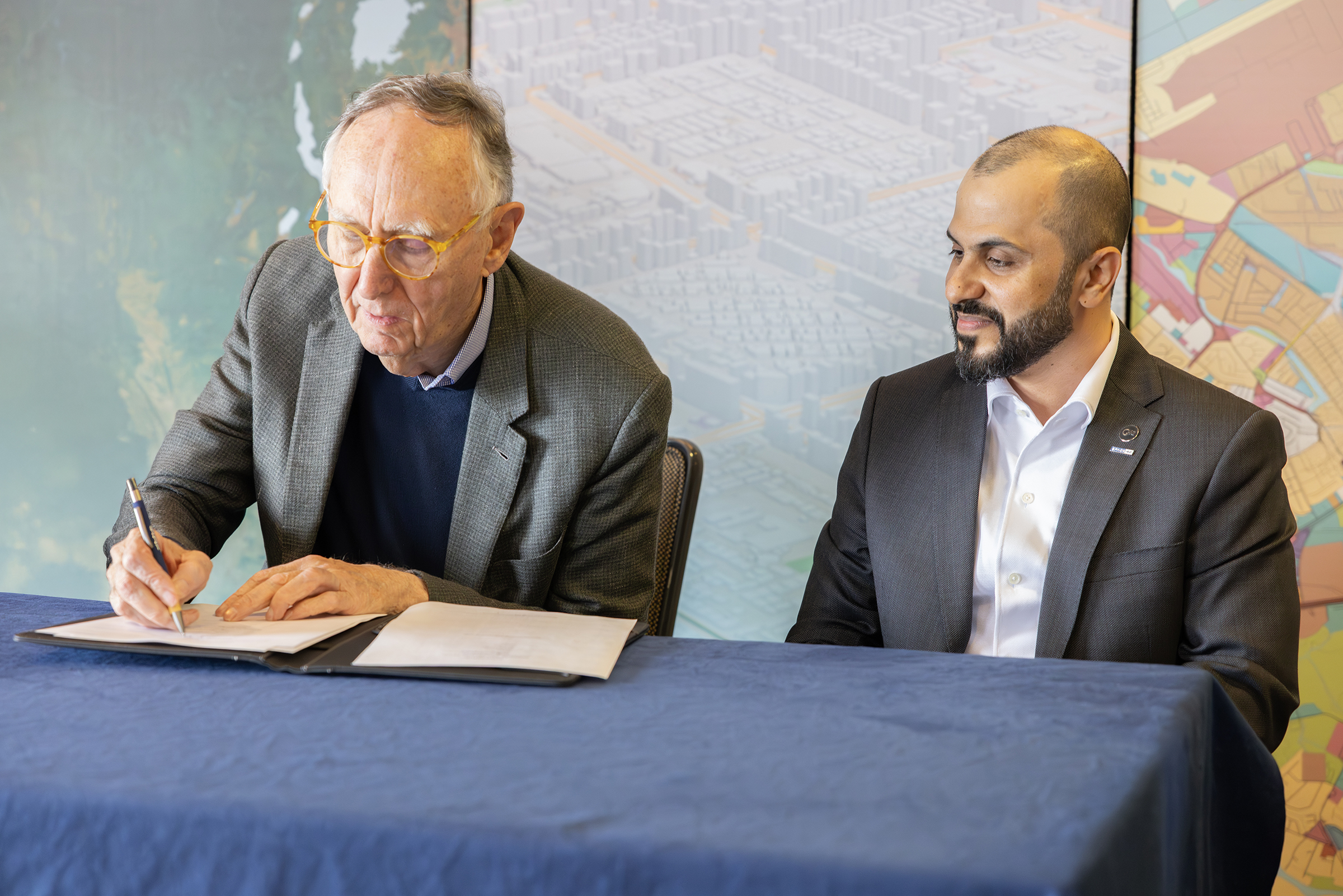
Esri President Jack Dangermond and Space42 CEO Hasan Al Hosani sign a Memorandum of Understanding (MOU) at the Esri User Conference.
Many of Africa’s official maps are fragmented, outdated, or hard to access, leaving governments and businesses to make major decisions with inaccurate or incomplete data. This has led to challenges in infrastructure development, as well as investment and institutional gaps. This joint initiative between Esri, Space42, and Microsoft was formalized in early July at the 2025 Esri User Conference in San Diego, California. The collaboration aims to increase institutional capacity for African nations by providing locally managed geospatial data and enabling smarter decision-making for governments, businesses, and communities.
“We are proud to support the Map Africa Initiative in partnership with Space42,” said Jack Dangermond, Esri president. “Transforming satellite imagery into detailed, accurate base maps at continental scale requires advanced geospatial technology and professional production workflows. These same capabilities have supported similar national and regional mapping efforts around the world. With Map Africa, we are helping to establish a foundational resource that will drive infrastructure planning, economic growth, and sustainable development across the continent.”
Space42, a UAE-based AI and space technology company, will lead fundraising efforts and project management, in addition to providing satellite data. Esri will orchestrate basemap production workflows with its GeoAI and remote sensing capabilities, while also supporting regional hubs to train local teams and build long-term capacity. Microsoft will provide the secure cloud infrastructure and AI framework through Azure to support data processing, sharing, and integration at scale.
“Partnership is core to the UAE’s DNA and is central to how Space42 operates,” said Hasan Al Hosani, CEO of Smart Solutions at Space42. “This collaboration with Microsoft and Esri is more than technical; it’s strategic. It advances Space42’s business priorities, strengthens our role as a trusted partner to governments, and delivers meaningful benefits to communities across Africa. Accurate, high-quality mapping and the intelligence solutions built on it are essential for growth, resilience, and inclusive innovation. With reliable data, communities and economies prosper.”
The initiative is expected to unlock long-term value across multiple sectors, including:
- Ports and logistics: Enhanced terrain and infrastructure mapping will improve route planning and reduce inefficiencies.
- Renewable energy: Site selection models will optimize solar and wind deployment.
- Security and disaster response: Governments will gain tools to monitor borders, manage resources, and coordinate emergency responses.
- Smart cities and digital economies: Accurate maps will support urban planning, public services, and technology deployment.
Map Africa data will be licensed to national governments, enabling ownership and long-term updating by National Mapping Agencies. Over time, the initiative will also support a new commercial ecosystem of African startups. The data will eventually be housed in G42 and Microsoft-managed data centers across the continent.
To learn more about Esri’s role in the Map Africa Initiative, visit esri.com/about/newsroom/arcnews/in-africa-sustainable-development-hinges-on-having-accurate-basemaps.
About Esri
Esri, the global market leader in geographic information system (GIS) software, location intelligence, and mapping, helps customers unlock the full potential of data to improve operational and business results. Founded in 1969 in Redlands, California, USA, Esri software is deployed in hundreds of thousands of organizations globally, including Fortune 500 companies, government agencies, nonprofit institutions, and universities. Esri has regional offices, international distributors, and partners providing local support in over 100 countries on six continents. With its pioneering commitment to geospatial technology and analytics, Esri engineers the most innovative solutions that leverage a geographic approach to solving some of the world’s most complex problems by placing them in the crucial context of location. Visit us at esri.com.
Source: Esri
Leading Solution Providers


Tabor Network