


Vendor » Esri
Features

Wyoming DOT Uses GIS to Reduce Truck Blow-Overs
Wyoming faces significant challenges with weather conditions on its interstate highways, particularly due to its location in the Rocky Mountains region. The state's three major interstates regularly endure severe weather Read more…

Esri Melds GIS with AI, Graph, and Analytics
Esri has long been the industry leader in geographic information systems (GIS), which are used by urban planners, building engineers, and landscape designers around the world. At its UC 2022 conference this week, the com Read more…

Esri Puts Federal Climate Change Action on the Map
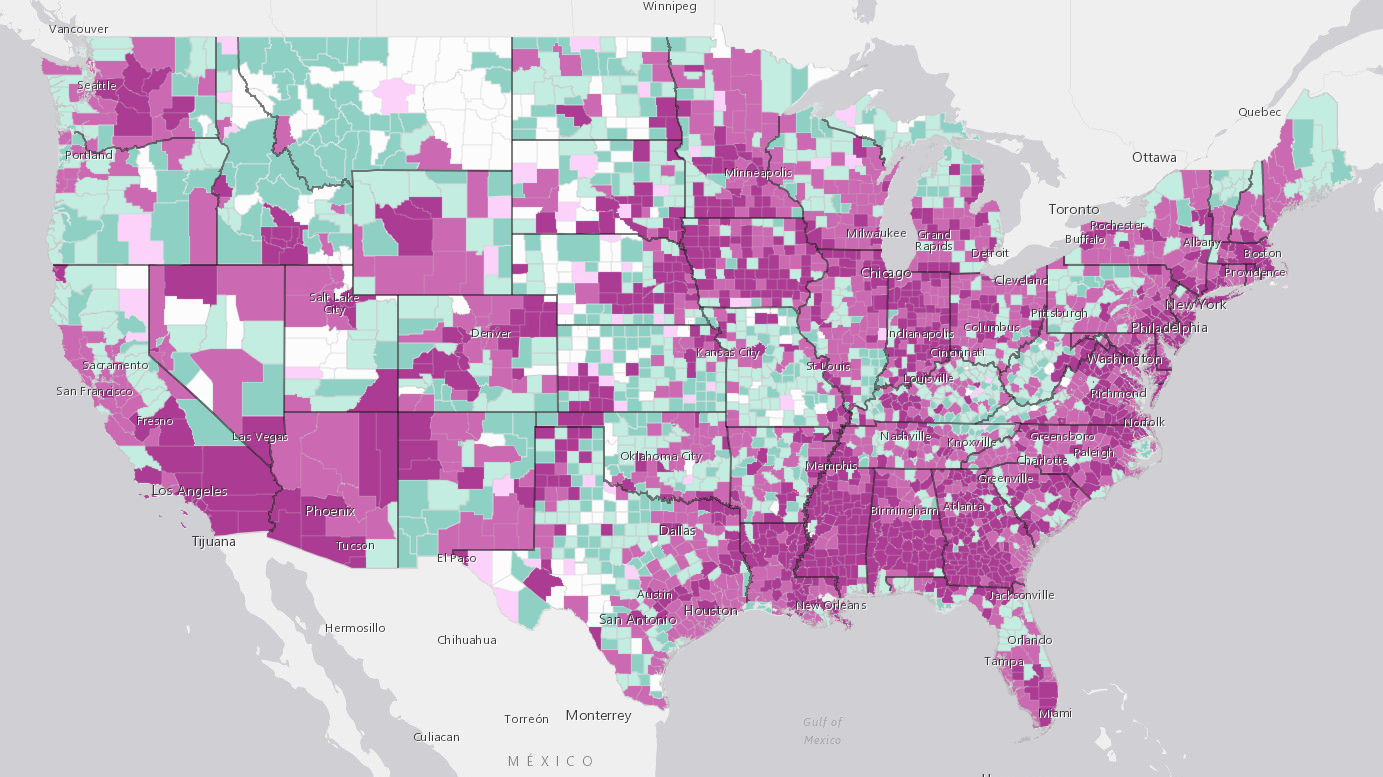
What is the Federal Government doing about climate change? Quite a bit, it turns out, but nothing tells a story quite like a map, which is why the Feds are using geospatial information systems from Esri to track the chan Read more…

Esri Simplifies Developer Access to Location Data with ArcGIS Platform
Esri built a solid reputation in the geographic information services (GIS) world with its flagship ArcGIS offering. Now the company is expanding its business model and catering to Web and mobile developers with a slew of Read more…

Esri Boosts ‘Velocity” of ArcGIS for IoT
Esri, the location intelligence and geospatial analytics specialist, is accelerating its Internet of Things analytics platform as more industries integrate geospatial sensor data and real-time analytics into their operat Read more…

Getting Creative with COVID-19 Contact Tracing
What do a GIS, a SIEM, and a time and attendance system have in common? If you said they’re all being used to help trace potential COVID-19 infections in American schools and workplaces, then give yourself a gold star. Read more…

Kroger Tackles Childhood Hunger at Home with Geo-Analytics
Hunger is on the rise around the world, thanks to the COVID-19 pandemic and the economic recession stemming from it. One company that is stepping up to the plate is The Kroger Co., which recently directed its data scienc Read more…
New Map Shows Hundreds of Counties in the COVID-19 Endgame — and Thousands on the Uptick
As more and more states around the country begin to loosen the lockdowns that have kept most Americans inside for upwards of two months, people are waiting with bated breath for the dreaded second peak that some research Read more…

Community Transmission: Counties Are the Front Lines in Virus Battle
The foot soldiers in the battle against COVID-19 are increasingly relying on location data to track resources and stem the spread of the virus, often one county at a time. With much of the responsibility for public sa Read more…

Big Data and AI Converge in Map to Protect Biodiversity
What's living where? Those are the basic pieces of data that biologists and conservationists are hoping to collect and load into the Map of Biodiversity Importance, a dynamic new map unveiled this week at the Esri User C Read more…
This Just In
Apr 4, 2025 |
REDLANDS, Calif., April 4, 2025 — Esri, a global leader in location intelligence, just published the third edition of A to Z GIS: An Illustrated Dictionary of Geographic Information Systems. Read more…
Mar 10, 2025 |
REDLANDS, Calif., March 10, 2025 — At its 2025 Partner Conference, Esri—the global leader in location intelligence—announced a collaboration with Google Maps Platform. Enabling users to create highly detailed and visually immersive 3D maps and scenes, this collaboration integrates Google’s Photorealistic 3D Tiles into the ArcGIS suite. Read more…
Feb 25, 2025 |
NEW YORK and REDLANDS, Calif., Feb. 25, 2025 — Dataminr, one of the world’s leading AI companies, and Esri, the global leader in geographic information system (GIS) technology, today announced an expanded strategic partnership aimed at driving innovation, enhancing customer value, and accelerating growth across key markets. Read more…
Feb 24, 2025 |
REDLANDS, Calif., Feb. 24, 2025 — Esri is launching Content Store for ArcGIS, a new web app that simplifies the process of purchasing and integrating commercial satellite imagery. Read more…
Feb 12, 2025 |
REDLANDS, Calif., Feb. 12, 2025 — On March 11, 2025, Esri, the global leader in geographic information system (GIS) technology, is hosting the Developer & Technology Summit in Palm Springs, California. Read more…
Dec 19, 2024 |
REDLANDS, Calif., Dec. 19, 2024 — The United States Census Bureau has just released the latest annual update to its American Community Survey (ACS) data, the premier government source for detailed national population information. Read more…
Oct 15, 2024 |
REDLANDS, Calif., Oct. 15, 2024 — Esri, the global leader in geographic information system (GIS) technology and location intelligence, together with Autodesk, Inc. Read more…
Oct 11, 2024 |
REDLANDS, Calif., Oct. 11, 2024 — Esri, the global leader in location intelligence, today announced the publication of Designing Better Maps: A Guide for GIS Users, Third Edition. Read more…
Sep 30, 2024 |
SAN FRANCISCO, Sept. 30, 2024 — Samsara Inc., a pioneer of the Connected Operations Cloud, today announced a new integration with Esri to enhance fleet management and real-time reporting for government agencies. Read more…
Aug 21, 2024 |
REDLANDS, Calif., Aug. 21, 2024 — GIS Day is the international celebration that showcases the power of geographic information system (GIS) technology. On November 20, 2024, Esri, the global leader in GIS and mapping, invites professionals, students, and people curious about geography to celebrate GIS Day’s 25th anniversary. Read more…
Leading Solution Providers


